 ERL have undertaken two trips to the Polessie State Radio-Ecology Reserve (PSRER) within southern Belarus in collaboration with our colleagues at the Norwegian Radiation Protection Authority. The Chernobyl nuclear power plant meltdown in 1986 is to date the worlds worst nuclear incident. The PSRER, alongside northern Ukraine and specific territories of eastern Russia, represent some of the most radioactively contaminated areas of the world. Furthermore, owed to their proximity to the power plant these areas are particularly challenging environments to characterise radioactivity given that significant changes in depth and activity of contamination can occur over the scale of a few metres.
The aim of the project was to develop and demonstrate a method to better characterise, in high spatial resolution, radiocaesium (Cs-137) deposition. Radiocaesium is still one of the leading contributors to environmental dose in the PSRER and its persistence in the environment is one of the main reasons for the notorious exclusion zone still being in place. Therefore, better characterisation can lead to more informed decisions and improved remediation strategies.
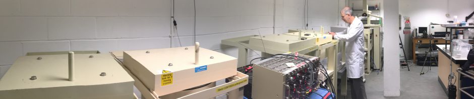
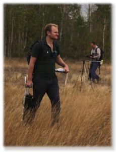
To explore this problem further we took our lightweight handheld MoGSS systems to the PSRER and performed walkover surveys using specialist software to account for the depth of contamination and gain better insights into the contamination levels.
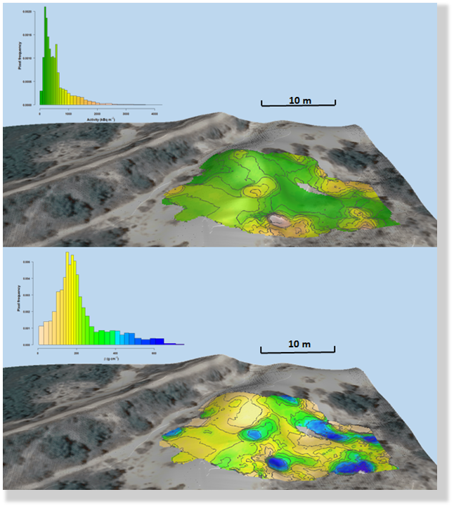
It was demonstrated through these early trials the technique could characterise much larger areas in a fraction of the time compared to conventional in situ methods or soil cores currently implementmented. Hopefully, practical solutions offered by projects like this one can aid in the further reinstatement of economic practices such as logging or farming the PSRER and perhaps one day could lead to large scale re-inhabitation of the exclusion zone.